ABMI report highlights the status of biodiversity in the oil sands
March 18, 2025
A new report released this year is building on the important understanding of biodiversity and its status in Alberta’s Oil Sands region (OSR). The Alberta Biodiversity Monitoring Institute (ABMI) recently published its Regional Summary on the Status of Land Cover and Biodiversity in the OSR, providing a data-driven assessment of ecosystem integrity in the region based on 20 years of monitoring data. The summary highlights that biodiversity in the OSR remains largely intact with minimal impact from industrial activity across the OSR.
The insights provided by the ABMI report are essential for guiding future land use decisions while also supporting Alberta’s economic growth. ABMI conducted all analysis and content independently. COSIA, the innovation arm of Pathways Alliance, funded the project.
The ABMI Regional Summary examines human footprint – the visible alteration or conversion of native ecosystems to temporary or permanent residential, recreational, agricultural, or industrial landscapes. The regional summary includes results for several
indicators that align with the monitoring framework for the Kunming-Montreal Global Biodiversity Framework, such as native cover, interior habitat, and biodiversity intactness.
ABMI’s reporting is important as it provides a broader regional perspective that extends beyond the leased areas in which the oil sands production facilities are based.
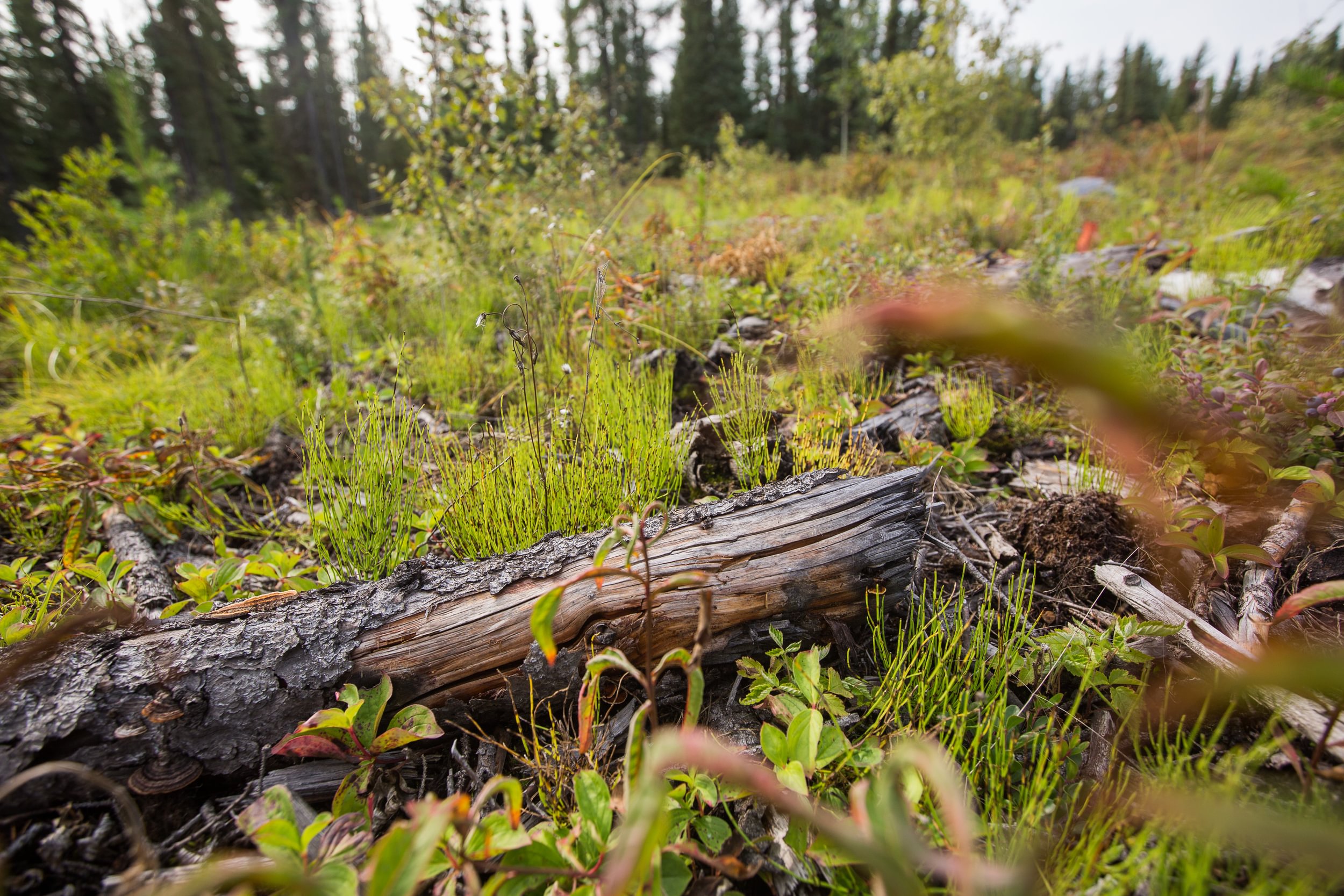
Understanding the Oil Sands Region
The OSR is made up of 142,200 km2 of boreal forest in northeast Alberta and represents the world’s fourth largest proven oil reserves. Land uses in this area include the energy sector (both oil sands and conventional), agriculture, forestry, municipal developments and the associated infrastructure to support these activities.
Key Findings of the Report
- Human Footprint Trends: Since 2010, the total human footprint in the OSR has grown from 12% to 16.5%, with forestry, energy, and agriculture contributing to the increase.
- Land Disturbance: Despite ongoing development, 85.6% of Upland Forest and 91.7% of Lowland Habitat remained intact as of 2021. Wildfires caused more disturbance than all human activities combined.
- Biodiversity Intactness: The OSR maintains an impressive 87% biodiversity intactness score, higher than other regions such as Vulcan County (59.2%) and Edmonton (48.3%). Intactness varies across species, ranging from 82% for vascular plants to 92% for mosses.
- Impact of Energy Development: The energy footprint within the OSR had a minimal effect (-2.5% to +2.5%) on habitat suitability for most species, demonstrating a relatively small ecological footprint.
Different species impacted differently
Of the 719 species examined in the intactness study, 179 species of conservation concern were detected, including:
- Woodland Caribou,
- Yellow Rail (bird), and
- Punctured Ramalina (lichen).
Ongoing research and monitoring programs around these species include:
- regional monitoring of birds and mammals in terrestrial environments
- high-resolution mapping of seismic lines and vegetation regeneration using lidar data and imagery
- vegetation data collection and analysis to support regional surveillance monitoring in wetlands
- development of approaches for mapping groundwater-dependent ecosystems.
Visit the ABMI website to read the full summary.